POINT CLOUDS
POINT CLOUDS PROCESSES
There are various ways to capture reality and bring it to the digital world. Historically it has been done by conventional surveying, with the use of theodolites, engineer's levels, total stations and GNSS geodetic equipment. All these teams managed to capture only a part of the world, since their measurement capacity is reduced, in the best of cases, to one point per second. In contrast, there are currently technologies that manage to capture millions of points per second, completely changing the scenario of conventional topography. These technologies can be summarized in two large techniques, photogrammetry and laser scanning.
At REVER we know these new technologies in depth and with them we have carried out projects of various sizes, always with optimal results in terms of safety, productivity and precision.

PHOTOGRAMMETRY
It is a technique that allows the study of shapes, dimensions and positions in space through the use of photographs. Given the appearance of drones and their increasing accessibility both in technical and economic terms, this technique has gained many followers in recent times.
In topography, and depending on the precision requirements of a project, many jobs that used to be done with instruments such as total stations or GNSS, are now done with photogrammetry by means of drones, since larger areas of land can be captured. in less time.
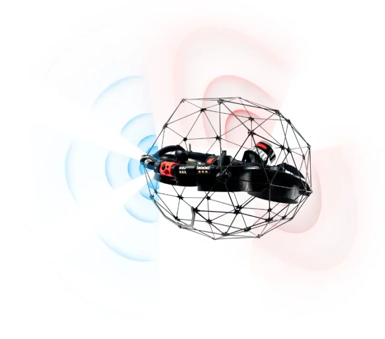
At REVER, we use different types of drones to perform photogrammetry, among which are: DJI Mavic 3, DJI Matrice 300 RTK and Flyability Elios 2 and Flyability Elios 3.
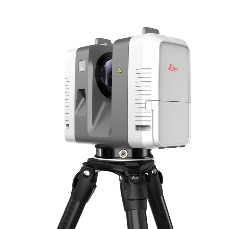
LASER SCANNER - LiDAR
Laser scanner technology or LiDAR (Light Detection and Ranging), is a device that allows distances to be measured through a pulse of light. Since the speed of light is known, the device calculates the time that elapses between the emission and reception of the pulse, thereby calculating the distance to the object. This process is repeated up to two million times per second, which is why the laser scanner equipment manages to capture millions of points in each position, a result that is finally called a cloud of points.
Over time, its applications have been more and more transversal, going through industries such as mining to architecture. Although it is a technology capable of capturing reality in a very representative way, achieving exquisite detail in terms of the shapes of objects, its processes are still somewhat slow and require both time and experience to achieve adequate results in terms of precision and representativeness. One of the key points in working with point clouds is the POINT CLOUD REGISTRATION, a process that ends up determining the final quality of the captured information.
At REVER we have years of experience in the use of this technology and we know the pains of the industries in terms of its use. That is why we are always concerned with accompanying the client in the use of the information captured to ensure that the data can be used and thus get the best out of this technology.
We also know that a point cloud by itself is not very useful, complements are needed that can transform these millions -and in some cases billions- of data into useful information for the client. That is why we added to the service of capturing reality with a laser scanner, the digitization service through the development of 3D models.
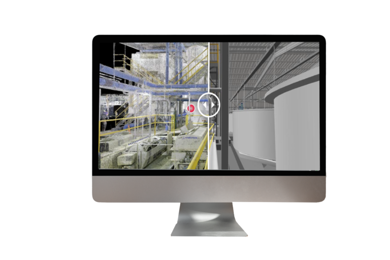
3D MODEL
3D models are mathematical representations of objects, which are developed in specialized software for these purposes, such as BricsCAD, Revit, SolidWorks, Geomagic, among others.
Currently, the use of point clouds helps to maintain reality in the creation of these 3D models, since the point cloud (reality with millimeter precision) is used to digitize or "trace" the 3D models. In this way, 3D models end up being a faithful representation of reality: